
Niger is divided into 7 regions and 1 capital district. Here is a list of all the regions and the capital district in Niger:
Regions and the capital district in Niger
- Agadez
- Diffa
- Dosso
- Maradi
- Tahoua
- Tillabéri
- Zinder
- Niamey (Capital District)
Quick Facts
| Category | Quick Facts |
|---|---|
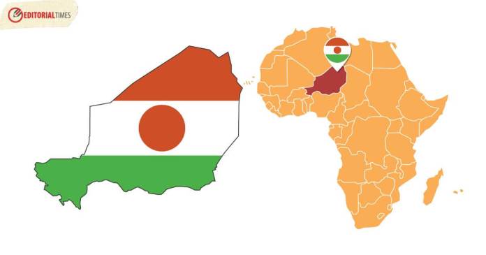
| Location | Landlocked country in West Africa, bordered by Algeria to the north, Libya to the northeast, Chad to the east, Nigeria and Benin to the south, Burkina Faso and Mali to the west |
| Capital | Niamey |
| Official Language | French |
| Population | Approximately 25.3 million as of 2021 estimate |
| Area | Approximately 1,267,000 square kilometers (489,191 square miles) |
| Geography | Primarily desert and savanna landscapes, with the Niger River flowing through the southwestern part of the country |
| Independence | From France on August 3, 1960 |
| Government | Republic with a semi-presidential system |
| Currency | West African CFA franc (XOF) |
| Notable Places | Aïr Mountains, W National Park, Niamey Grand Mosque |
| Official Website | [Official Government Portal of Niger](https://www.gouv.ne/) |
Is Niger known for its natural beauty and wildlife?
Yes, Niger has several natural attractions, including the Aïr Mountains and W National Park, which is a UNESCO World Heritage site known for its diverse wildlife.
What is the climate like in Niger?
Niger has a hot and arid climate, with the Sahara Desert covering a significant part of the country, resulting in high temperatures and minimal rainfall.
What is the significance of the Niger River in the country?
The Niger River is a vital water source in Niger, providing water for agriculture and supporting local communities.
See More:
